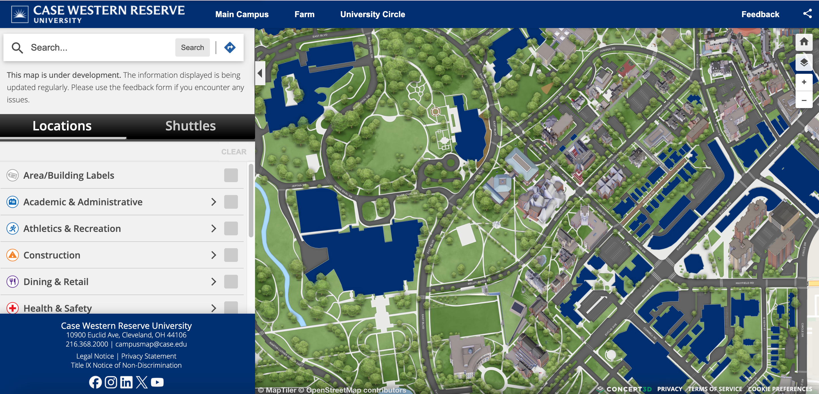
In partnership with Concept3D, the University Technology ([U]Tech) office at Case Western Reserve University introduced an enhanced campus map, designed to provide a more interactive and accessible navigation experience.
Available to members of the CWRU community, this map includes real-time shuttle tracking and coverage of the main campus, University Circle and the University Farm. On mobile devices, new wayfinding features offer turn-by-turn directions between buildings, with full control over routes.
[U]Tech and Concept3D will soon add ADA-accessible entrances and lactation room locations to further improve accessibility and convenience.
To explore the map or share feedback for future improvements, visit the campus map website. To provide feedback, use the link in the upper corner of the map's title bar at map.case.edu.