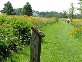
The Interpretive Trail was designed in 1982 to show the wildlife habitat, successional stages of vegetation and geological formations of northeastern Ohio. The two-mile trail is designated by dark brown posts with white numbers.
Visitors are asked to stay on the trails and not pick any plants or disturb any of the natural features of the landscape. Users who bring dogs to the farm must follow the rules outlined in our dog policy. Dogs must be leashed at all times while on Farm property.
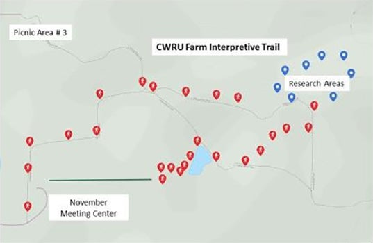
In 2001, the trail was expanded and redesigned to include 32 stations. The starting point of the Interpretative Trail begins by the November Meeting Center parking lot or by Picnic Area #3. Posts 1 to 5 from the picnic areas are assigned a number and the letter "a" .
Sections 12-18 are not open to the public as they are used for research only.
If you would like to learn more about the Interpretive Trail, you can now use our interactive map below and download a copy of the updated 2018 trail guide:


